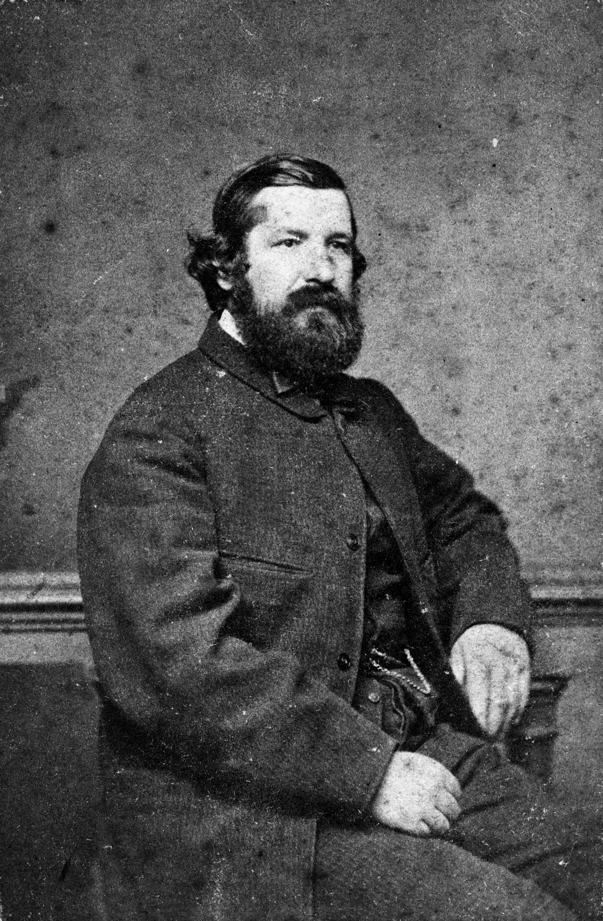
Julius von Haast
Julius von Haast was a German geologist who explored Waitaha Canterbury extensively in the 1860s before becoming the founding Director and Curator of the Canterbury Museum in 1870. Haast was originally sent to New Zealand to assess its suitability for German immigrants. He explored the Auckland area and Waikato, Lake Taupō, the Bay of Plenty and Coromandel with an emphasis on their geography and geology.
In Te Waipounamu, he focused on Nelson, Golden Bay, and Picton before moving down the West Coast identifying valuable minerals in the ranges between Nelson and the Grey River and completing a topographical map of 'Westland'.
When he finally reached Canterbury, his geological expertise made the rail tunnel from Lyttelton to Christchurch possible and he was rewarded with the position of Provincial Geologist to Canterbury from 1861-1868. During this time, he continued his geological investigations of the West Coast and Canterbury. He discovered coal and gold, identified the origins of the Mackenzie Plains, collected numerous biological specimens, and 'discovered' and re-named several central South Island glaciers.
He put his samples and specimens to good use as foundation holdings of the Canterbury Museum. When Canterbury College was established, he lectured in geology from 1873, becoming a full professor in 1876. He was elected a fellow of the Royal Society in 1867, received a hereditary knighthood from the Austrian Emperor in 1875, and the Royal Geographical Society’s Patron’s Gold Medal in 1884 for his explorations of New Zealand.
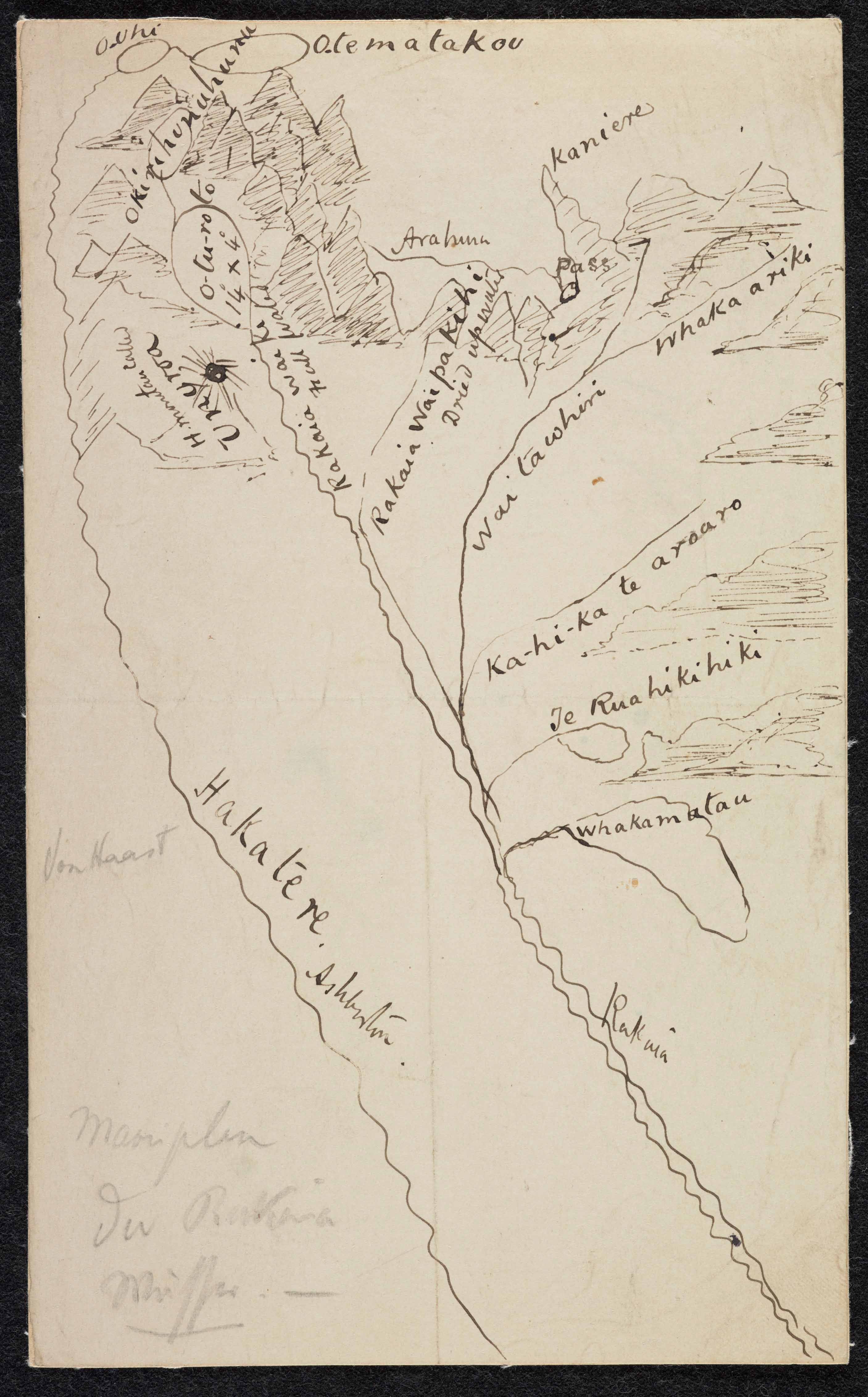
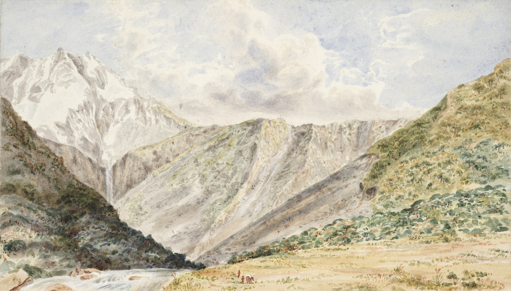
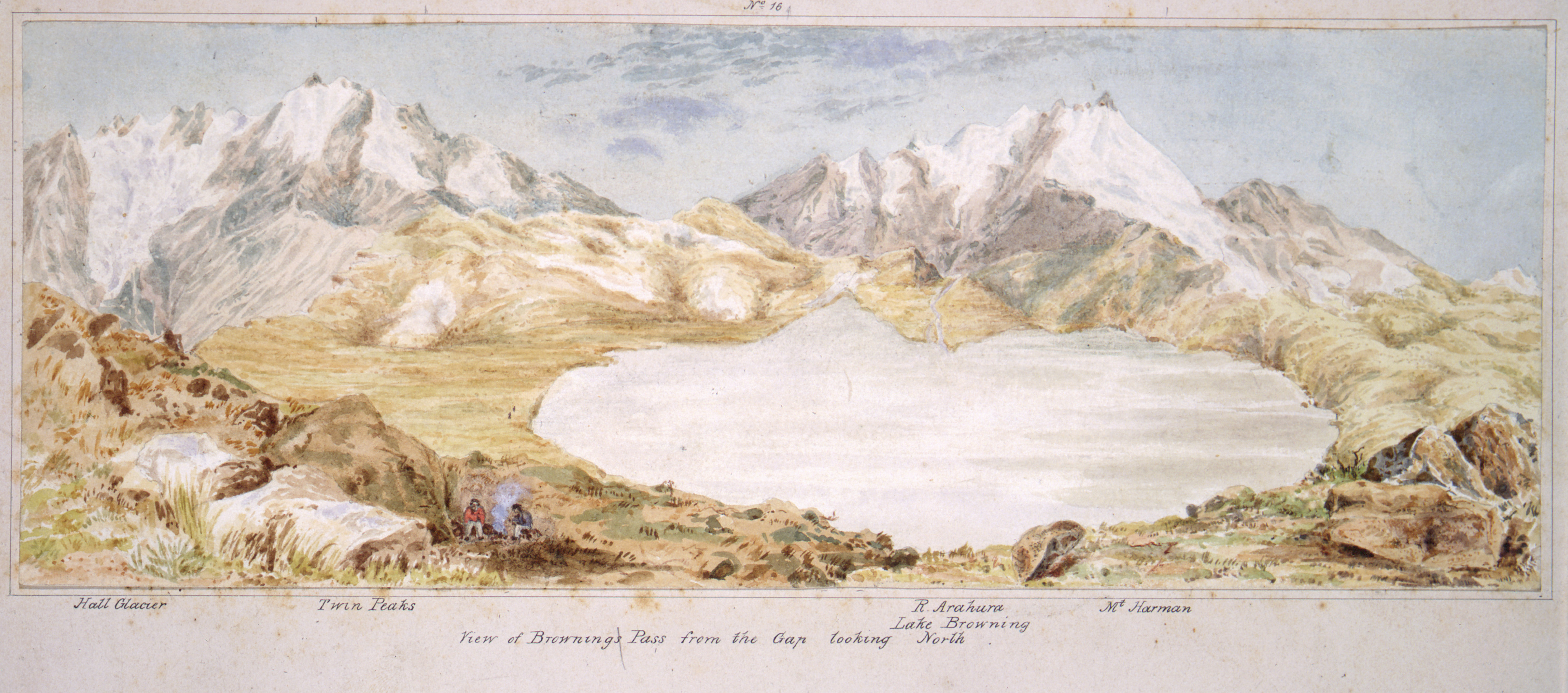
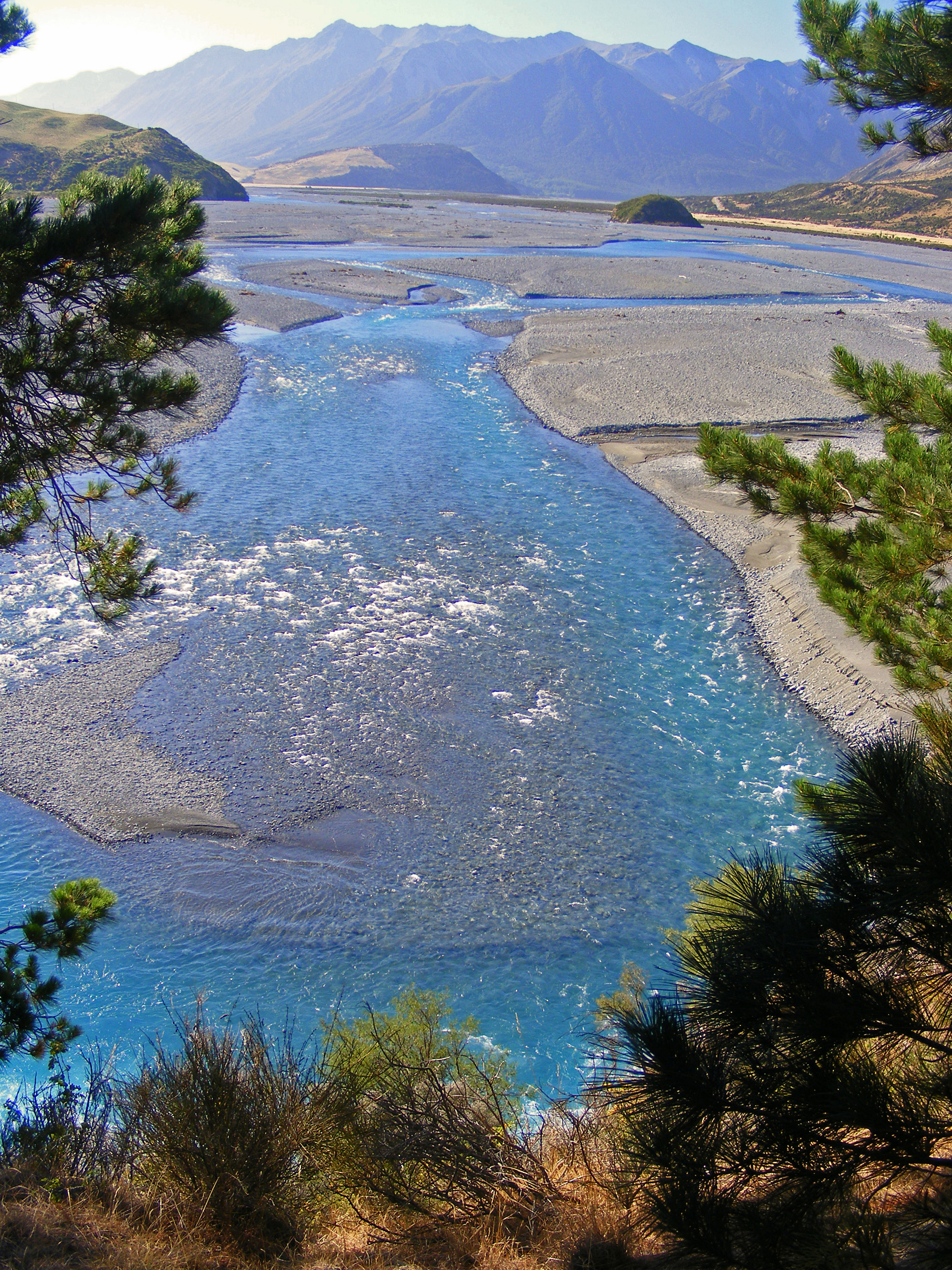
 from the <a rel=\"noopener\" href=\"http://www.kahurumanu.co.nz/atlas?find=%7bc1049c41-4152-e311-8212-005056970030%7d\" target=\"_blank\" data-anchor=\"?find=%7bc1049c41-4152-e311-8212-005056970030%7d\">Waitāwhiri</a> (Wilberforce River),1866</p>
<p>Reference: Haast, Johann Franz Julius von, 1822-1887: View of Browning Pass from the valley of the Wilberforce River, Haast family: Collection. Ref. A-149-006, Alexander Turnbull Library, Wellington, New Zealand. </p>")


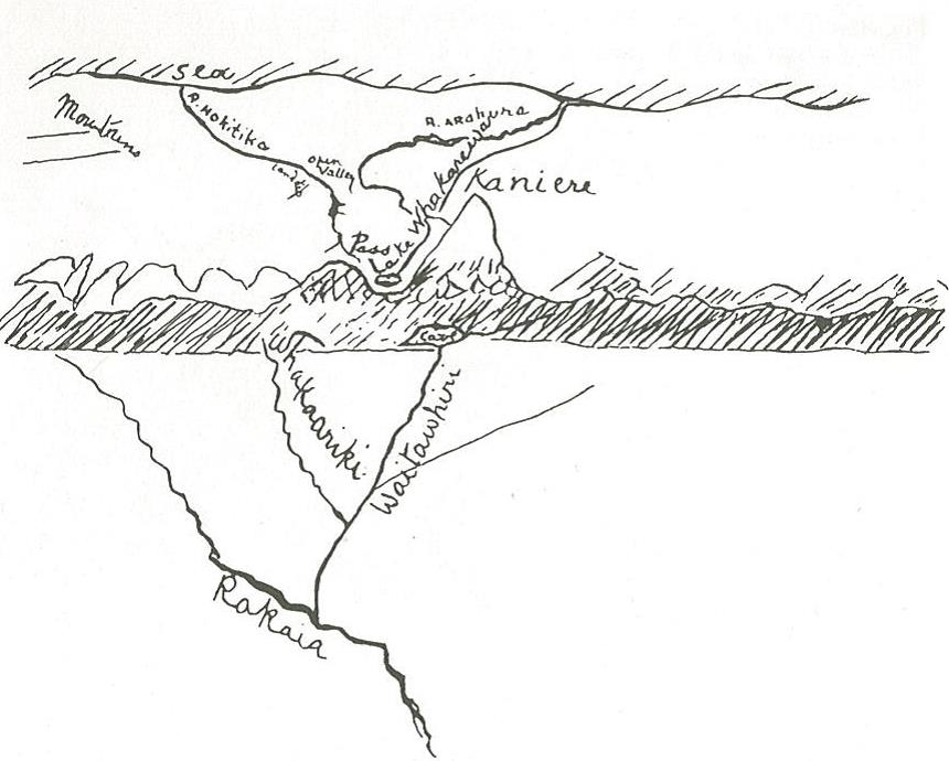
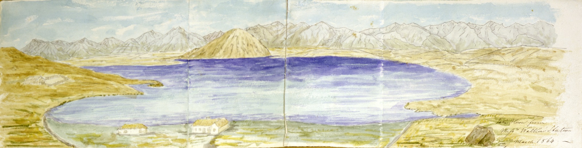
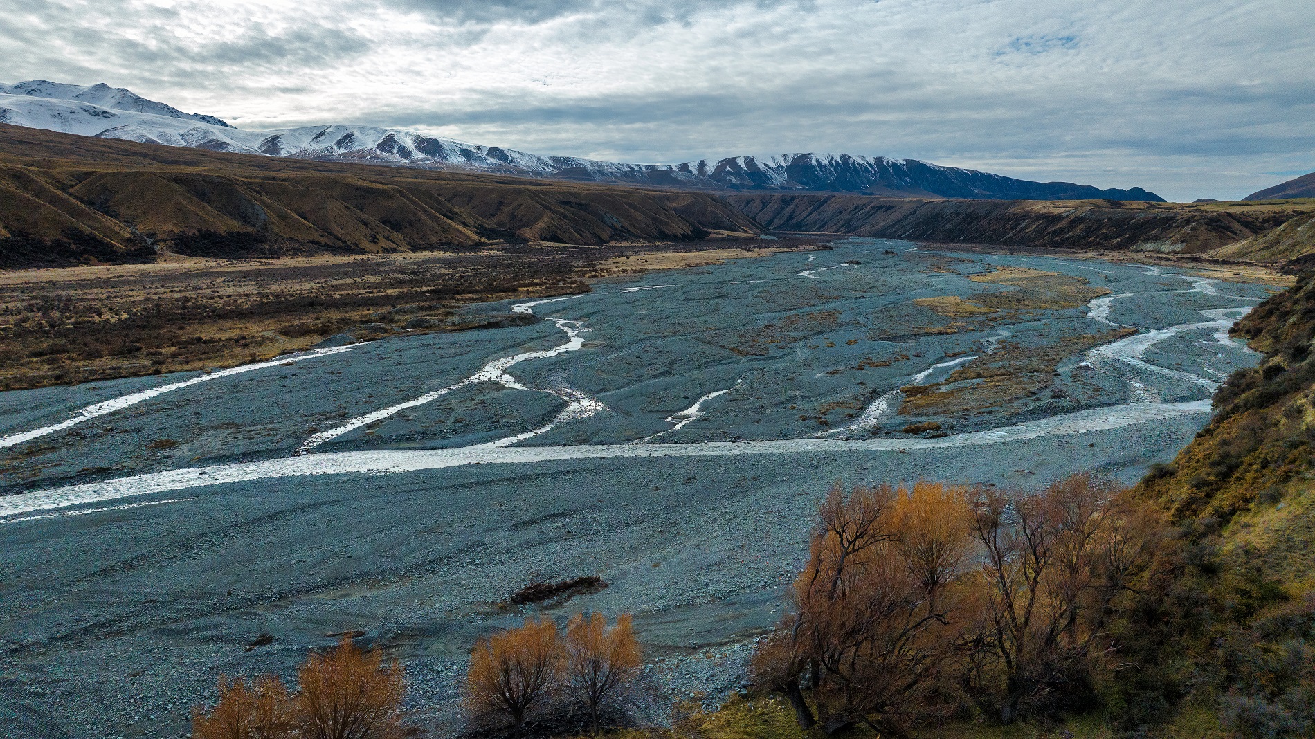
 were situated among the rivers and lakes identified in the map collected by Haast. </p>
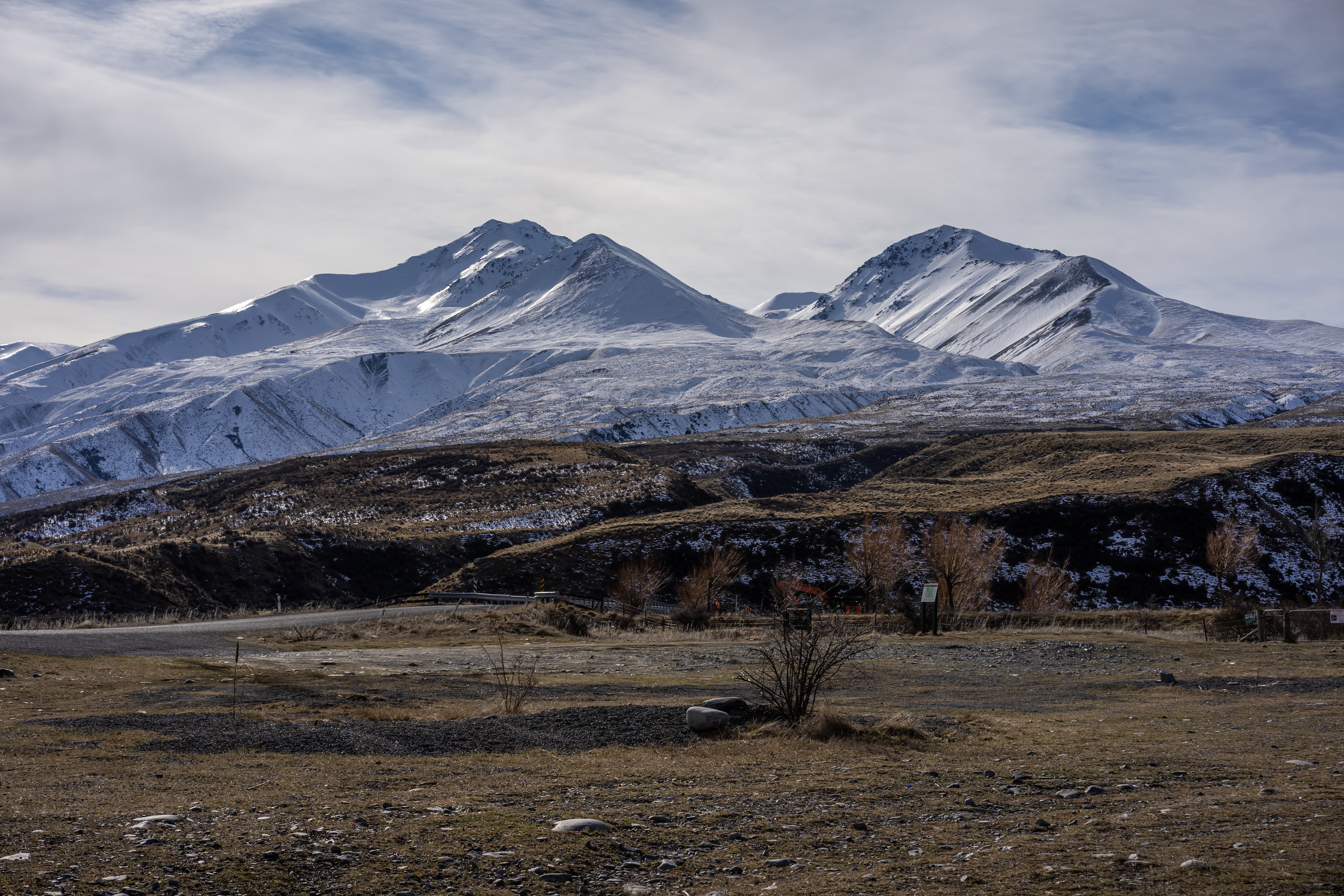
<p><a rel=\"noopener\" href=\"http://www.kahurumanu.co.nz/atlas?find={1bf49a57-3e52-e311-8212-005056970030}\" target=\"_blank\" data-anchor=\"?find={1bf49a57-3e52-e311-8212-005056970030}\">Kirihonuhonu</a> (Lake Emma), formerly known as Lake Acland, is part of the rich high-country mahinga kai area of <a rel=\"noopener\" href=\"http://www.kahurumanu.co.nz/atlas?find={41703ecb-3e52-e311-8212-005056970030}\" target=\"_blank\" data-anchor=\"?find={41703ecb-3e52-e311-8212-005056970030}\">Ōtūwharekai</a> (the Ashburton Lakes). In 1880 Ngāi Tahu kaumātua recorded Kirihonuhonu as a kāinga mahinga kai (food-gathering place) where tuna (eels), aruhe (bracken fernroot), and weka were gathered.</p>
<p>While the <a rel=\"noopener\" href=\"https://kareao.nz/scripts/mwimain.dll/144/ANON_DESCRIPTION/WEB_DETAIL_DESCRIPTION_REPORT/SISN%2017072?SESSIONSEARCH\" target=\"_blank\" title=\"Canterbury Deed of Purchase\" data-anchor=\"?SESSIONSEARCH\">Canterbury Deed of Purchase</a> (Kemp’s Deed) of 1848 promised to protect and reserve Ngāi Tahu mahinga kai, including those in the Rakaia and Hakatere catchments, this did not happen, and many food gathering areas were subsequently sold and destroyed. </p>
<p>Photographer: Tony Bridge</p>
<p>Reference: Kirihonuhonu, 2014-103-044, Te Rūnanga o Ngāi Tahu Collection, Ngāi Tahu Archive. </p>")