Map maker: Teone Taare Tikao
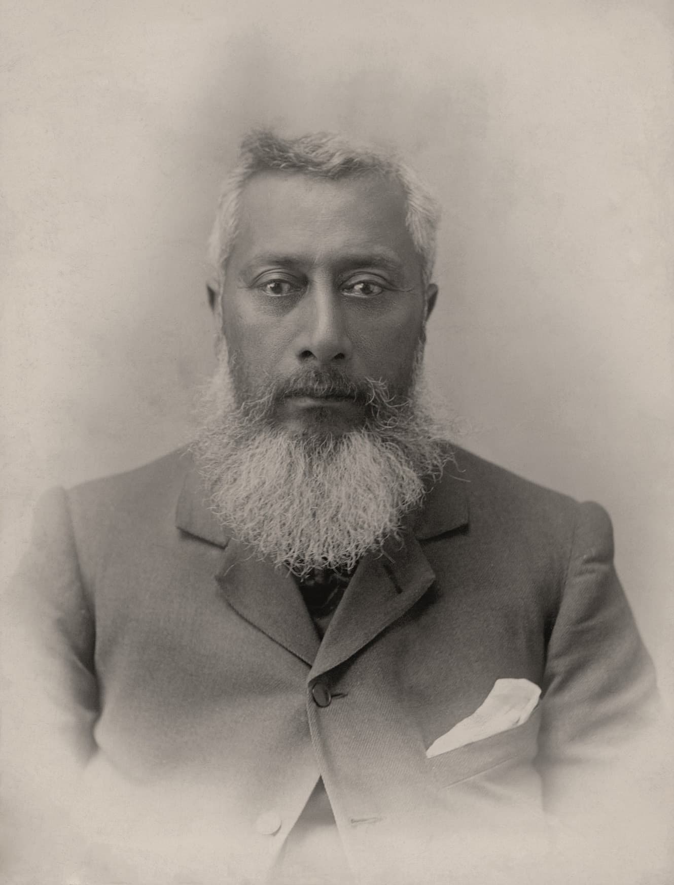
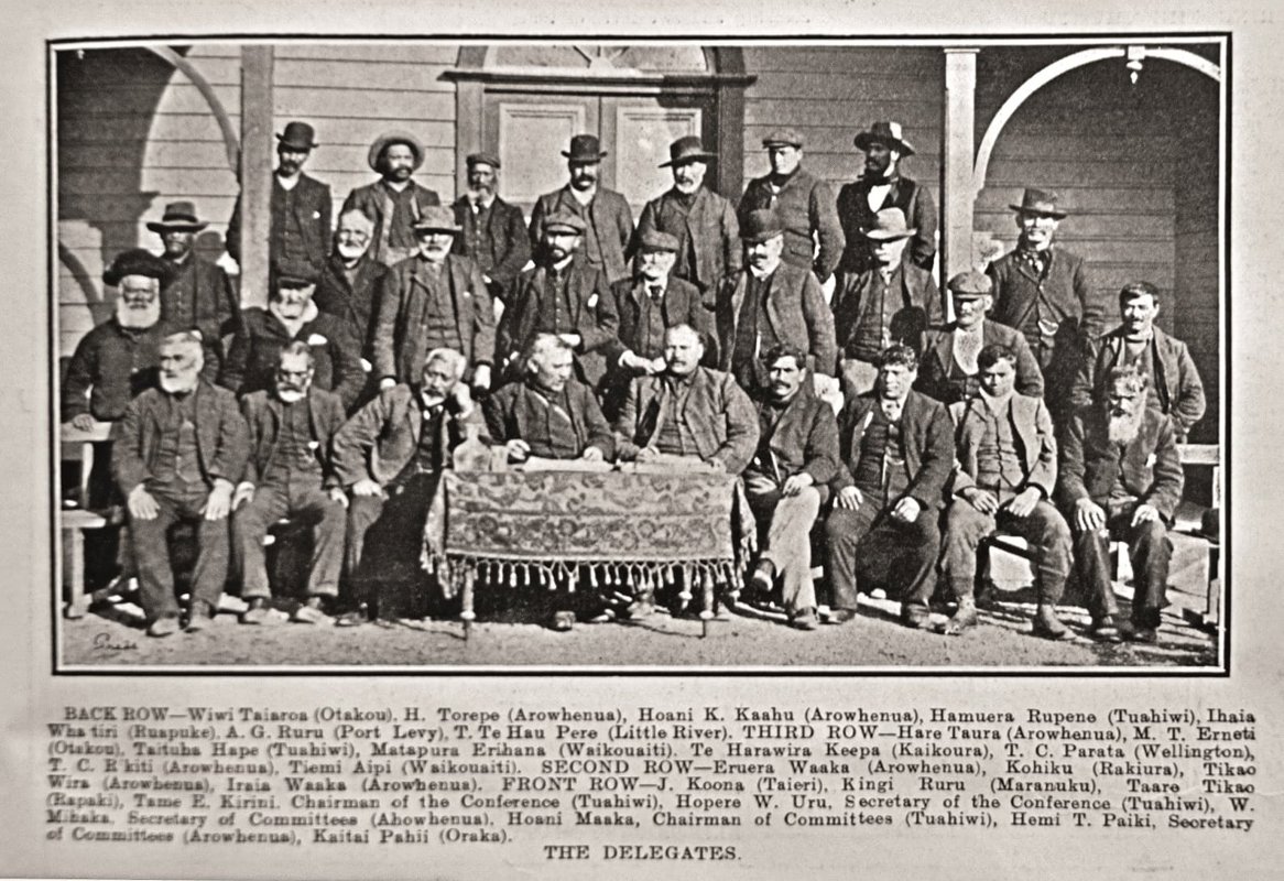
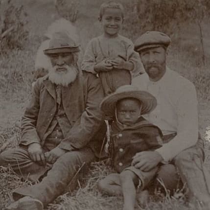
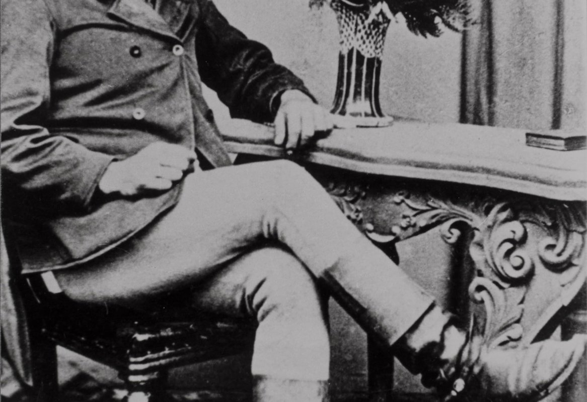
Teone Taare Tikao was born on Banks Peninsula around 1850. Tikao claimed descent from twenty-one Ngāi Tahu hapū but was principally of Ngāi Tūāhuriri and Ngāti Irakehu. At an early age he was placed by his father in the charge of two noted tribal tohunga of Ngāi Tahu, Koroko and Tuauau, from whom he gained an encyclopaedic knowledge of Ngāi Tahu natural lore and history of the Canterbury area. Tikao lived at Wainui and Koukourarata (Port Levy) before finally moving to Rāpaki with his family. Biculturally competent leaders able to manage the relationships with the rapidly expanding Pākehā world were in high demand, and his skills marked Tikao for recognition. He was an influential figure, heavily involved with the Ngāi Tahu claims, and with Te Kotahitanga, the movement for an independent Māori parliament. He gave generously of himself and was, above all, a source of traditional learning for succeeding generations.
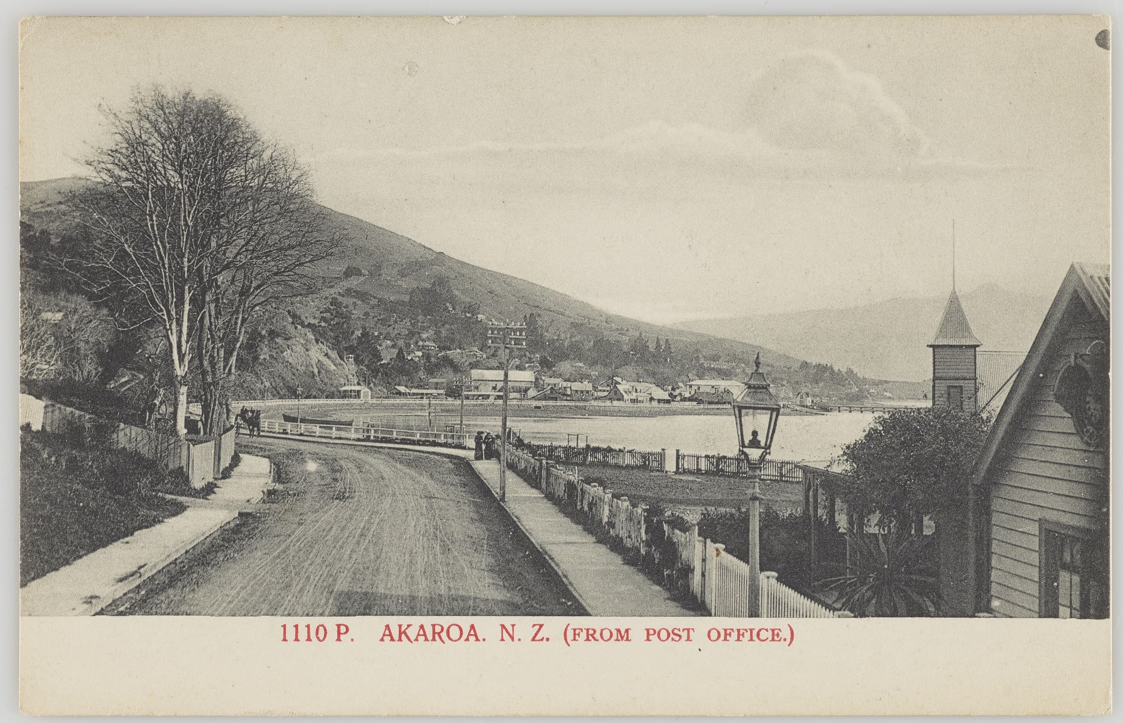
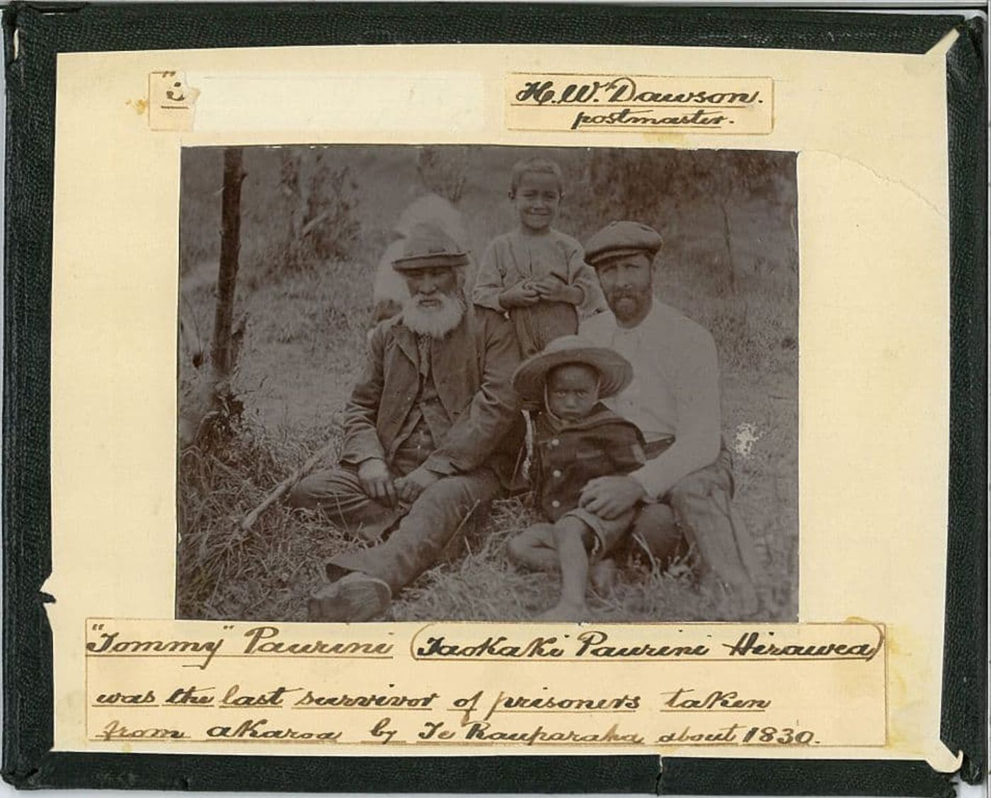
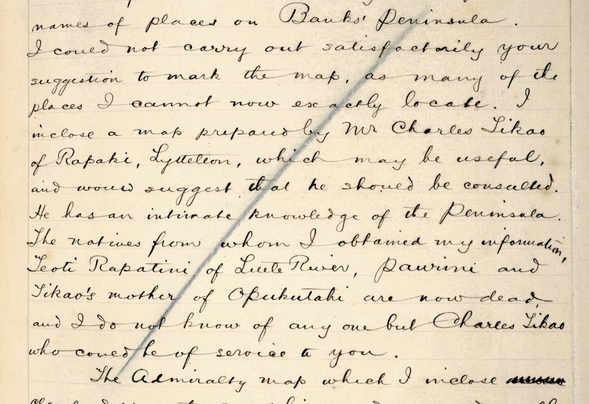
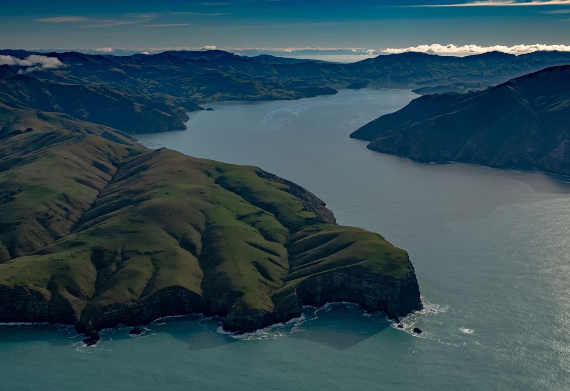
Tikao became an informant of James Cowan, James Stack and James Herries Beattie, who recorded and published Ngāi Tahu history and traditional information. He also generously provided information to many others including Henry Dawson. The map Tikao drew for Dawson is a little larger than foolscap and includes more than one hundred place names along the shoreline of Akaroa Harbour neatly written in black ink. The harbour features a French ship, 'Kai Puke Wiwi' and a whale boat manned by a crew poised to harpoon a whale.

