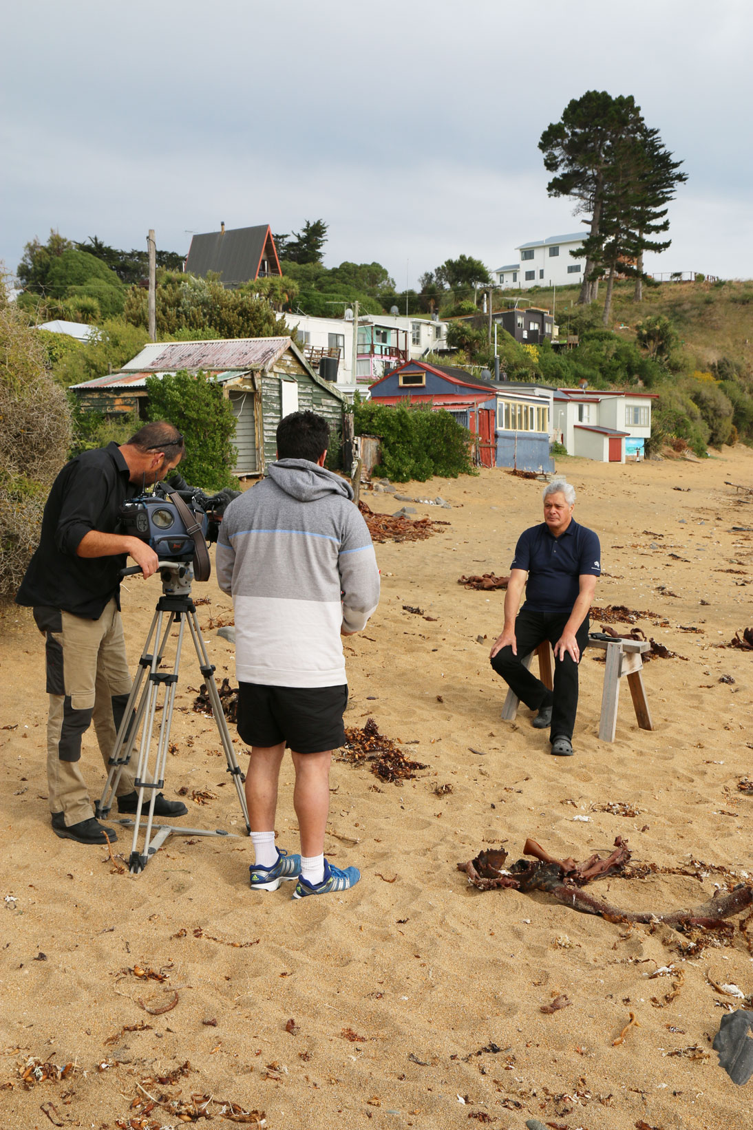
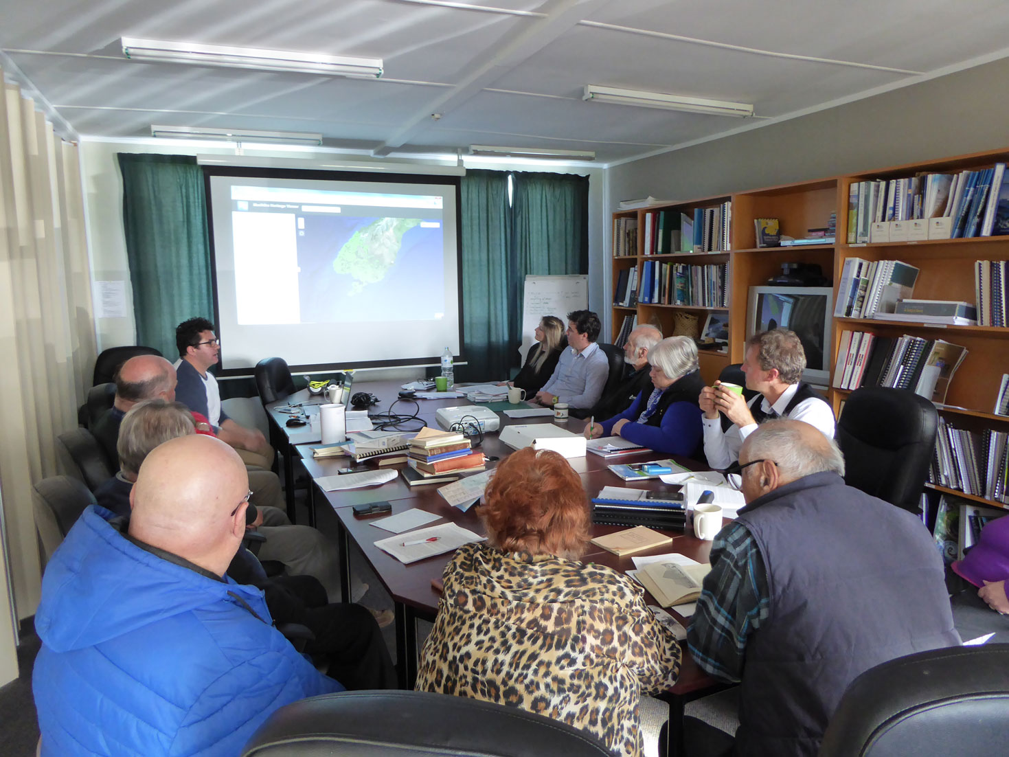
A cultural mapping hui held with Kāti Huirapa ki Puketeraki at Puketeraki Marae in 2015. From left to right: Khyla Russell, Hinerangi Ferrall-Heath, Helen Brown, Kyle Davis, David Higgins, Takerei Norton, Matapura Ellison and Stan McFerrier. Te Rūnanga o Ngāi Tahu Collection, Ngāi Tahu Archive, 2018-0315
The Ngāi Tahu Cultural Mapping Project arose out of the need to facilitate better outcomes for Ngāi Tahu in Tenure Review, but it was always intended that it become a valuable resource for Ngāi Tahu whānui. While the researching of Māori place names was occurring at pace with Papatipu Rūnaka, there was still no formalised vision regarding the final outcome.
In 2012 the Ngāi Tahu Fund organised the Ngāi Tahu Cultural Summit at Puketeraki Marae. The Cultural Summit provided an opportunity for Ngāi Tahu whānui to revisit the iwi cultural strategy and to set strategic objectives to guide priorities for the subsequent decade. It also provided a forum for whānau to come together to assess the state of Ngāi Tahu cultural capacity, with a focus on experts and the transmission of knowledge.
Cultural mapping was one of the kaupapa discussed during the summit and positive feedback was received on its progress, in particular the potential unleashed by new technology. The overwhelming desire of whānau was the creation of a Ngāi Tahu geographical and historical atlas of place names for Te Waipounamu. The concept of a Ngāi Tahu Atlas provided the much-needed direction and focus for the vast amount of cultural mapping work that was occurring throughout the Ngāi Tahu rohe.
“Ultimately we will be judged by our peers at the marae. This mahi will empower our people. I have waited a long time to see this happen.” Trevor Howse.

The Ngāi Tahu Atlas
View videoBuilding the Atlas
The emphasis now changed from researching Māori place names to developing a Ngāi Tahu Atlas. This required overcoming some technical and logistical issues. At this stage of the project all of the cultural mapping data was held in two separate datasets — ESRI ArcGIS and Microsoft Excel — and this was proving difficult to maintain.
An “Ingoa Wāhi” database was built in Microsoft Dynamics Customer Relationship Management (CRM). As part of the process a specific data structure for Māori place names was created to provide the capacity to record the level of accuracy, reliability, and research undertaken or required for each place name. The mapping information contained in the Microsoft Excel spreadsheet was then migrated into the new data structure in the CRM database, removing the complications of maintaining two separate datasets.
“It’s incredible how certain things came into play; technology, people, experts in the field who all of a sudden helped us to move forward a quantum leap.” Matapura Ellison, 2015.
The new CRM database was connected to the ArcGIS programme and the newly built Ngāi Tahu Heritage Viewer. Information gathered at cultural mapping hui held on marae was recorded directly into the new database, allowing whānau to see changes made in real time. The technological advances made the mapping process more accurate and time efficient, and allowed it to occur at a pace never imagined when the project was first established.
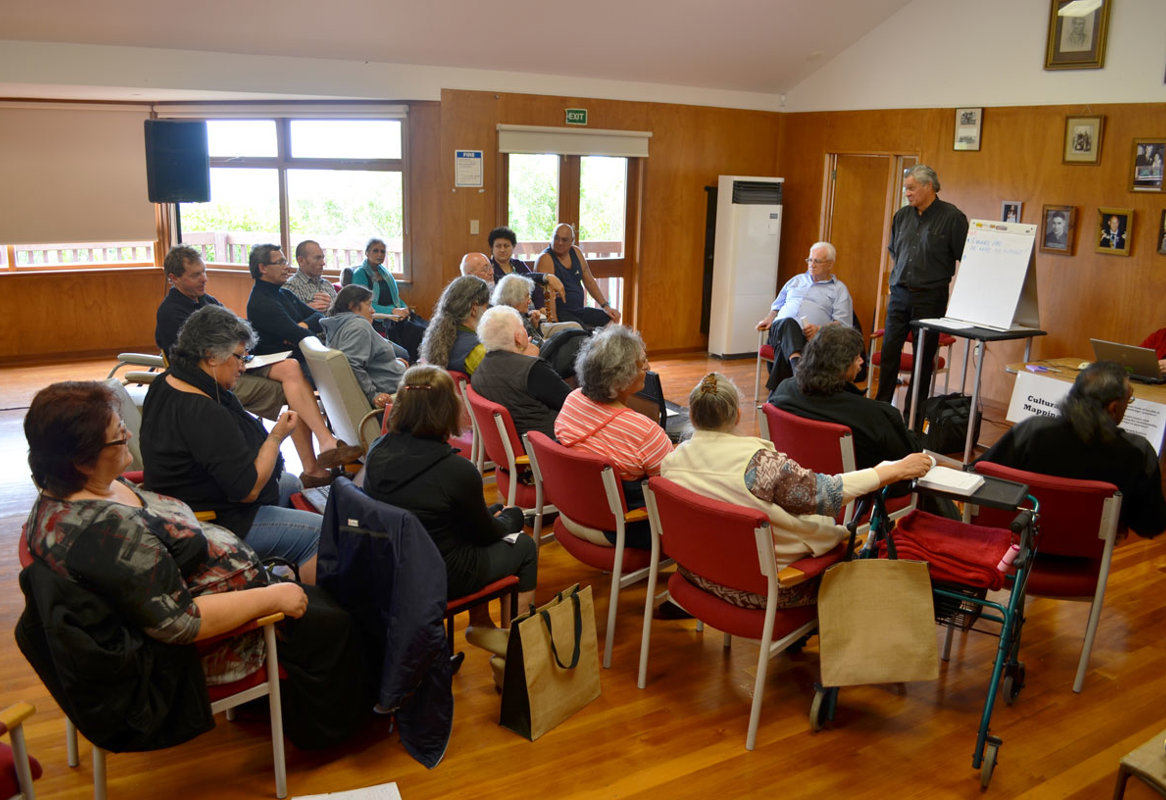
Development of the Ngāi Tahu Atlas
View gallery
“I am grateful to be part of the process. If we are going to remain a people we can’t have just a few carrying the information.”
Trevor Howse, 2012
“When you look at the work that has been done on the cultural mapping and you have to put that onto an A4 sheet of paper, I would say you would probably run into 100,000 pages. It is huge.”
James Mason Russell, 2014

“We are talking about the strength for our children to realise that we have our rights on every part of this whenua.”
Kelly Davis, 2004

"It's been a real education and a pleasure at the same time. I’ve just enjoyed being part of it and I think it is something that we take forward for our whānau."
Jane Davis, 2015
Finishing the Research
Once the necessary infrastructure was developed to build the Ngāi Tahu Atlas, the focus shifted to completing the required research. Cultural mapping hui were being held at Ngāi Tahu marae throughout the rohe. People brought along their knowledge and their personal collections, and combined this with papers and information gathered from external institutions. This was all recorded directly into the new ‘Wāhi Ingoa Database’.
Support was received from the Ngāi Tahu environmental entities Kāi Tahu ki Otago (KTKO) Ltd and Te Ao Marama Inc. In 2005 KTKO Ltd undertook a pilot GIS project mapping Māori place names throughout the takiwā of Kāti Huirapa ki Puketeraki. This information was incorporated into Kā Huru Manu, and provided a solid and reliable foundation from which to work.
Although numerous Te Rūnanga o Ngāi Tahu staff and marae representatives have worked on the project, there has been a core forum of kaumātua who have provided invaluable support at both tribal and local level. Not only did they initiate Kā Huru Manu, but they have continually advocated and supported the project. These kaumātua saw Tenure Review as an opportunity to reestablish the kaupapa they always envisaged during the Waitangi Tribunal hearings into the Ngāi Tahu Claim during the 1980s. Therefore it is only fitting that these kaumātua provide the final reflections on the evolution of Kā Huru Manu.

Kaumātua Reflecting
View videoContinue the Journey
Explore the atlas

