A cultural mapping hui with Te Rūnanga o Moeraki at Uenuku Marae, Moeraki, 2015. Front Row (left to right): Takerei Norton, Justin Tipa, Helen Brown, Paulette Tamati-Elliffe, Patrick Tipa and Iain Gover. Back Row (left to right): David Higgins, James Mason Russell. Te Rūnanga o Ngāi Tahu Collection, Ngāi Tahu Archive, 2017-0272
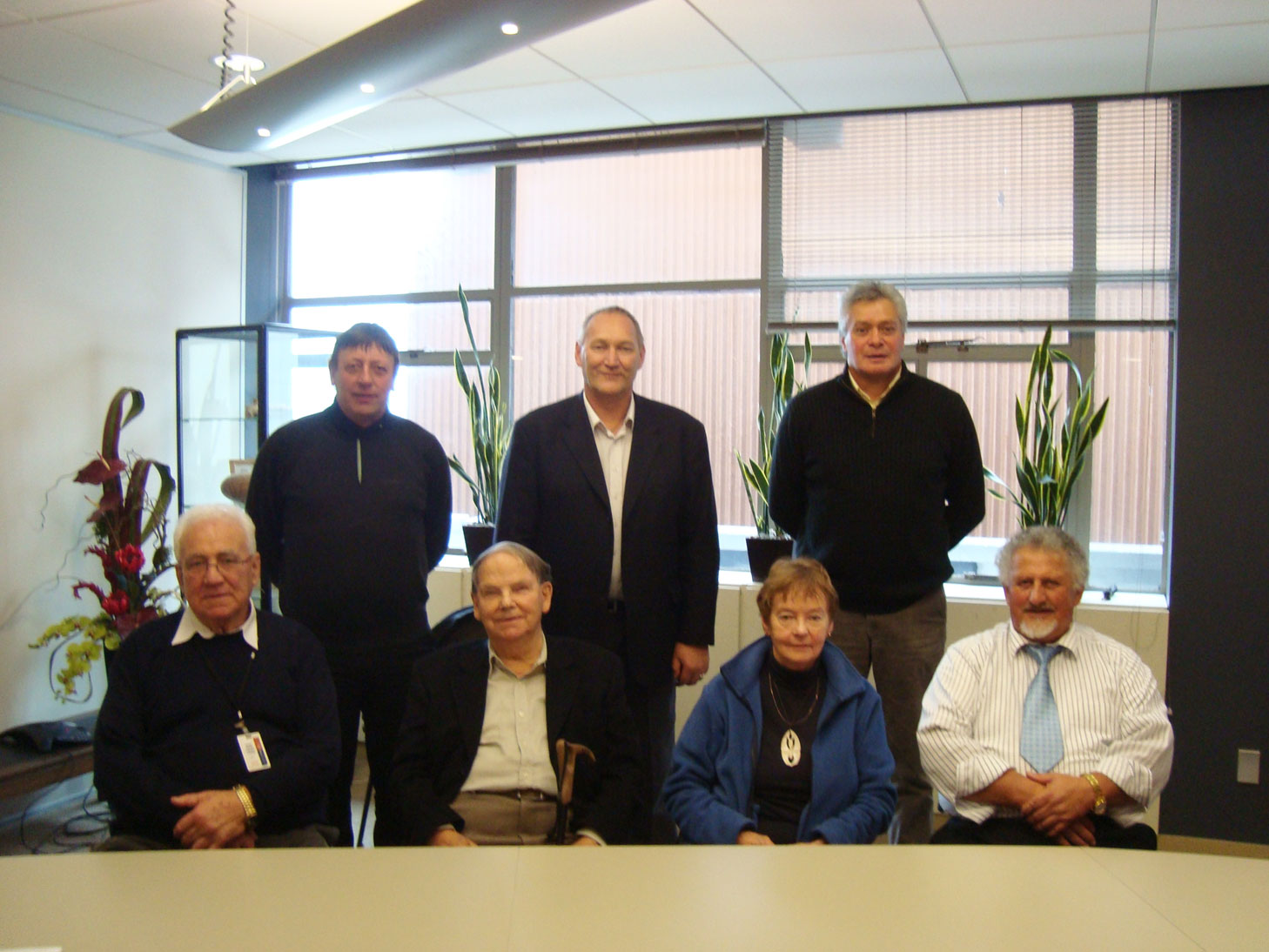
After a series of discussions with Papatipu Rūnanga it was agreed to establish a kaumātua paepae to guide the researching and mapping of cultural values in the South Island High Country. Initially, the paepae consisted of Trevor Howse, Kelly Davis, Matapura Ellison, and David Higgins. Both David and Matapura were working as Kaupapa Atawhai Managers for the Department of Conservation, who agreed to resource their involvement as part of their respective roles.
"So we go back to the land, the whenua, and we put the names in place because that’s where the history is. Academia has given us one part of history. We have a responsibility to take that other piece and put it together." Trevor Howse.
Trevor and Kelly were both heavily influential during the negotiations for the Manuhaea Conservation Area, and keen to continue this work. Sadly, Kelly passed away on the eve of the first mapping hui, in March 2007. A conscious decision was made to prioritise the Cultural Mapping Project, and the recording of Māori place names in the high country began with urgency.
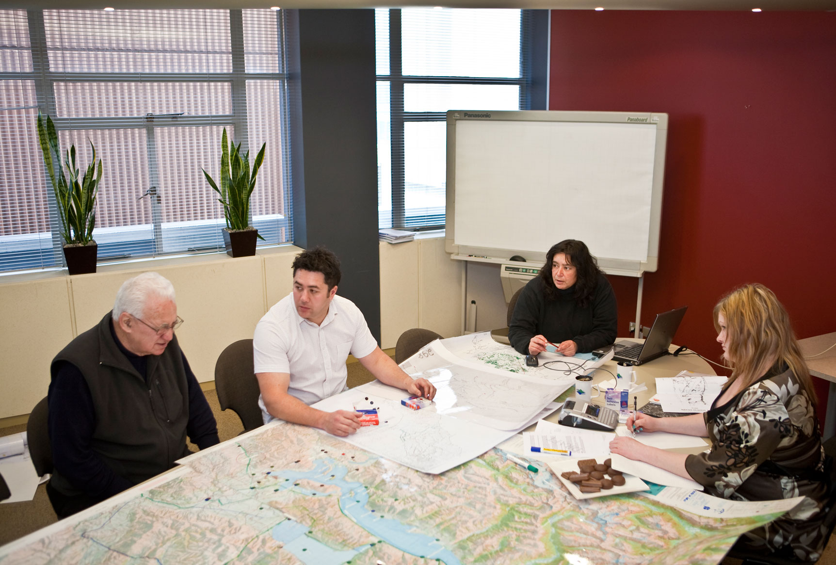
One of the earliest principles established by the paepae was to use the best information sources available at the time. Through a combination of kaumātua providing their own personal papers and research undertaken by Te Rūnanga o Ngāi Tahu staff, the mapping of cultural sites took place under the guidance of the paepae. Initially Ngāi Tahu place names and cultural values were mapped onto 1:50,000 topographic maps. References and other relevant information were recorded in an accompanying spread sheet. The place names from the hard copy maps and accompanying data were then transferred to the Ngāi Tahu Geographic Information System (GIS).
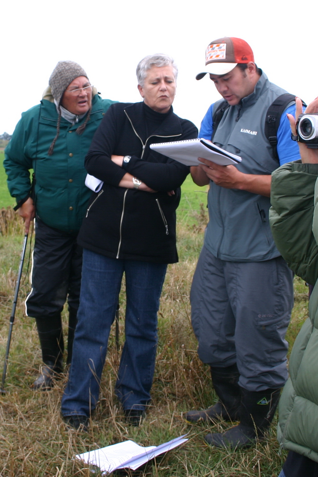
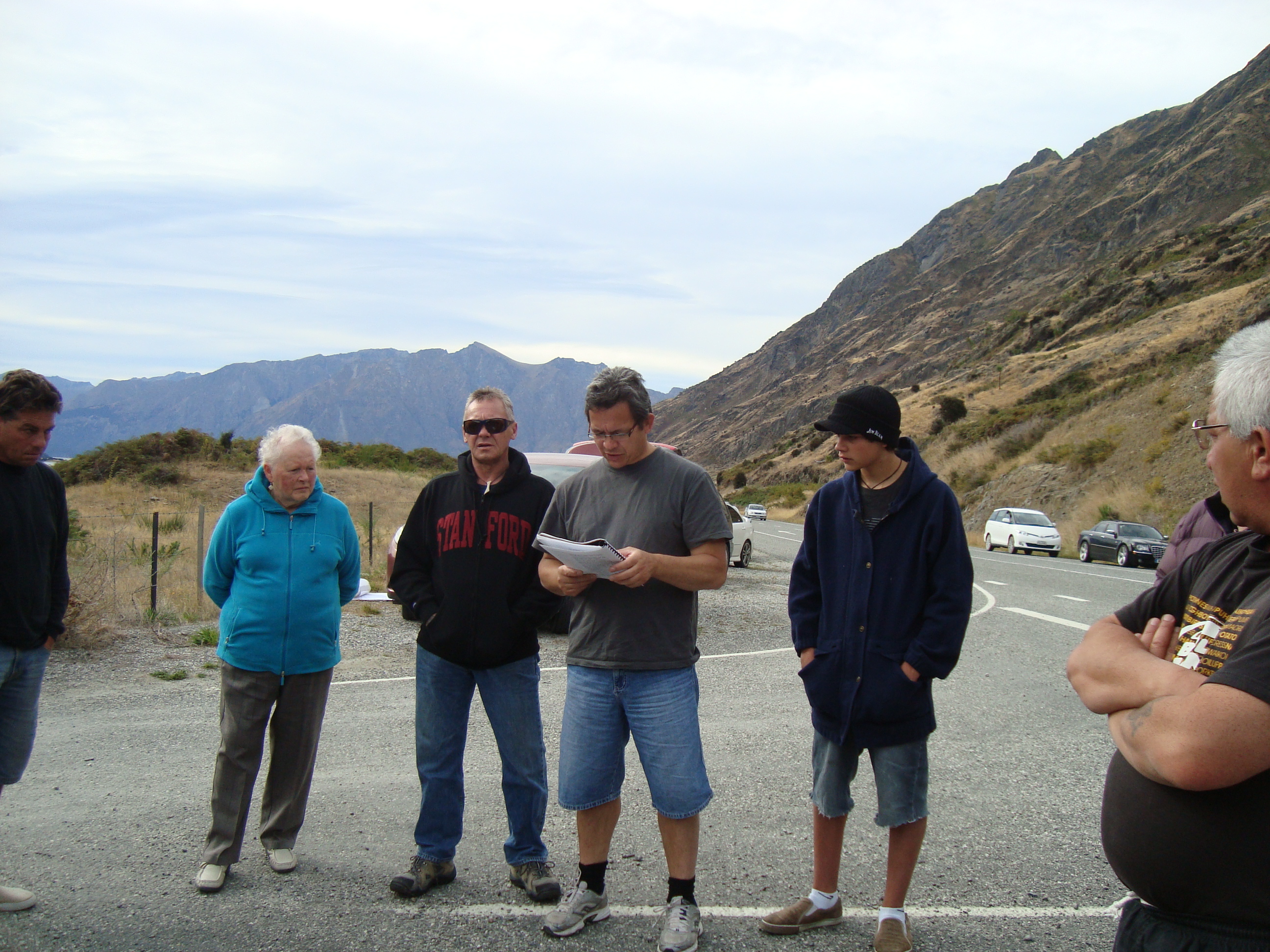
Field trips were then organised with local Papatipu Rūnaka to visit those cultural sites that had been mapped. This ensured that sites were not only mapped as accurately as possible, but also provided for greater whānau involvement in the process. These field trips were received with great enthusiasm and energy from whānau; visiting sites of cultural significance while sharing and learning history with one another. Field trips provided opportunities to interview and record kaumātua talking about sites of significance while inviting guest speakers to share their knowledge.

Cultural Mapping Hui
View gallery
“Our aim is not to ‘freeze’ our heritage as if it were a museum artefact. It must be nurtured in such a way that it continues to live, breathe and grow.”
Tā Tipene O’Regan, 2012
“The one thing that GIS mapping has done for us is that it’s actually given us the eyes of the bird that flies over the top.”
Kelly Davis, 2004

"I’ve just enjoyed being part of it and I think it is something that we take forward for our whānau. It has really put the steps of our ancestors on the ground, and it’s a great thing for future generations."
Jane Davis, 2016
Cultural Mapping Begins
View videoA Powerful Tool
The iwi quickly recognised Kā Huru Manu as a powerful tool for identifying and protecting Ngāi Tahu values. The historical information gathered was employed to organise more targeted Ngāi Tahu inspections of high country pastoral leases, to strengthen cultural evidence, and to promote the protection of customary rights and cultural values through local and central statutory processes.
During the final stages of completing the mapping research for the high country, kaumātua advocated for the project to be extended to cover the entire Ngāi Tahu rohe. It had always been envisaged that Ngāi Tahu would undertake a project of this nature. Tenure Review provided the opportunity to do so.
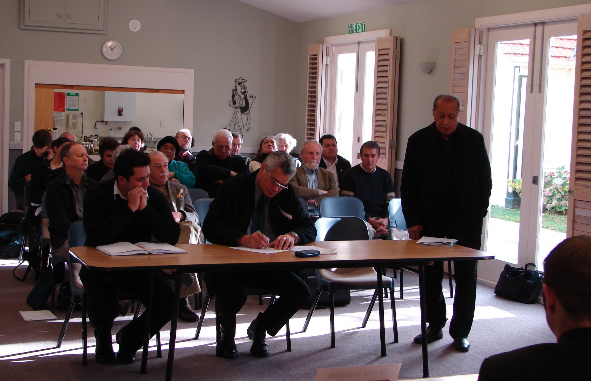
With the extension of the project's scope, there was a real need to engage with the Ngāi Tahu people who had been at the heart of research and advocacy for the recognition of place names and histories for their local marae and whānau. A great response was received and cultural mapping hui were regularly held with whānau at marae throughout Te Waipounamu, recording Ngāi Tahu place names and histories.
Using technology to preserve history
View videoContinue the Journey
Chapter Four – The Ngāi Tahu Atlas